Where do geological CO2 emissions come from?
An international team, including researchers from the IPGP, has developed a technique using radon gas to track CO2 emissions observed at the surface, whose origin and mobility remain poorly understood. Studying this CO2 is essential to better predict and assess the seismic and volcanic risks associated with these emissions.

High geological CO2 emissions are generally associated with active volcanoes and geothermal systems around the world. However, although fundamental for long-term monitoring, prediction of future activity and assessment of risks to people, it is still difficult to determine the depth of CO2 sources in the upper crust.
An international team, composed of researchers from the IPGP, the CRPG (Lorraine University/CNRS), ISTerre (Grenoble Alpes University / Savoie Mont Blanc Uinversity/CNRS/IRD), the Azores Volcanological Research Institute (IVAR/Univ. of Azores, Portugal) and the Department of Mining and Geology of Nepal (DMG), has developed a new approach to determine the depth of CO2 degassing using a radioactive gas, radon.

Radon, which is naturally contained in the rock, is transported to the surface by CO2 gas. Since radon is radioactive and has a very short half-life (around 4 days), it provides a time constraint to better estimate the transport time of CO2 in the earth’s crust and thus determine the degassing depth of the latter.
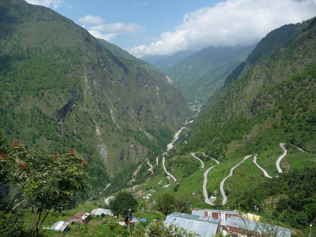
The method has been successfully applied to two active sites: the Furnas volcano fumarole field in the Azores, marked by CO2 of magmatic and mantle origin, and the Syabru-Bensi hydrothermal system in the Nepal Himalayas, marked by CO2 of metamorphic origin.


The striking correlation between CO2 and radon fluxes measured at the ground surface at these two very different sites is well reproduced by a coupled radon and CO2 transport model. The outgassing depths obtained are compatible with the known structures at depth at these sites.
This study provides a better understanding of the degassing mechanisms, and in general the transport of CO2, in active tectonic and volcanic zones of the planet. Studying this CO2 is particularly important in order to predict the future activity of these tectonic and volcanic zones, and thus better assess the geological risks for the population.
In addition, these results also open the way to the study of radon emissions themselves. Indeed, the high radon fluxes measured at Furnas during the quiescent period suggest significant radon emission from volcanoes on a global scale, which can modify the ionisation of the atmosphere and the climate.
Publication :
Girault, F., Viveiros, F., Silva, C. et al. Radon signature of CO2 flux constrains the depth of degassing: Furnas volcano (Azores, Portugal) versus Syabru-Bensi (Nepal Himalayas). Sci Rep 12, 10837 (2022). https://doi.org/10.1038/s41598-022-14653-5
The LabEx UnivEarthS contributed to this research by funding the Frontier project “MYSTHIC” (F4).
